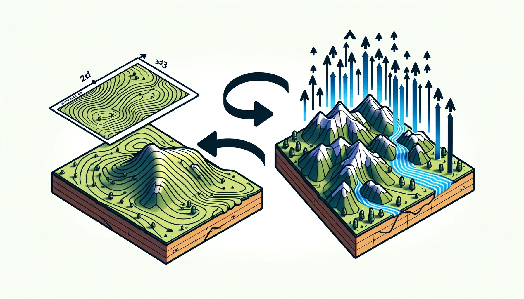
Contour Renderer is a 3D terrain visualization tool that showcases the intersection of advanced programming and computer graphics. Developed in C++, leveraging the capabilities of OpenGL, this tool is designed to transform 2D contour maps into dynamic 3D models using a dynamic programming approach to triangulate i.e. dividing the surfaces in small triangles, which are then rendered using OpenGL.
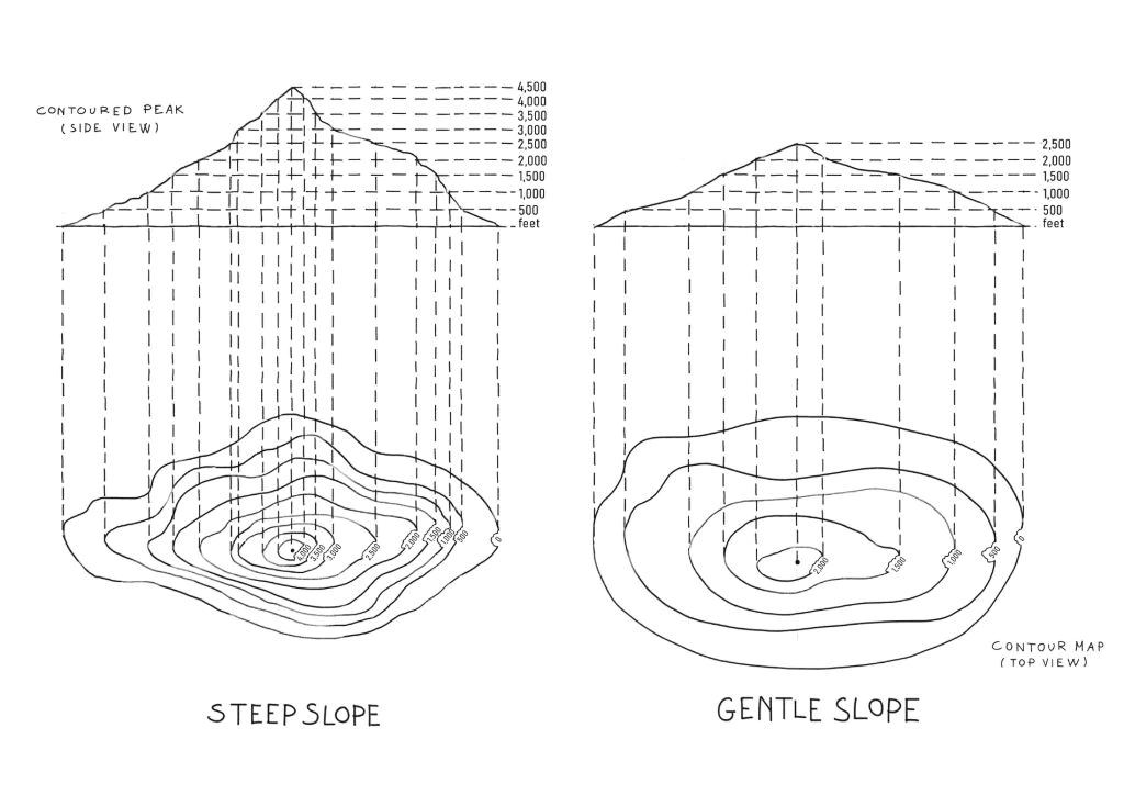
Contour maps, which graphically represent varying elevations through concentric loops ( there can be exceptions to concentric constraint ), are the input for this application. The program intelligently interprets these loops, corresponding to different heights, and constructs a detailed 3D landscape from them. This allows for a comprehensive visualization of terrain, offering users the ability to view the landscape from multiple angles and at various zoom levels.
This tool not only serves as a practical application for geographical and topographical analysis but also as a testament to the power of integrating graphical algorithms with user-friendly interfaces in C++.
The program takes a list of lists as input, where each list represents a loop as a series of points.